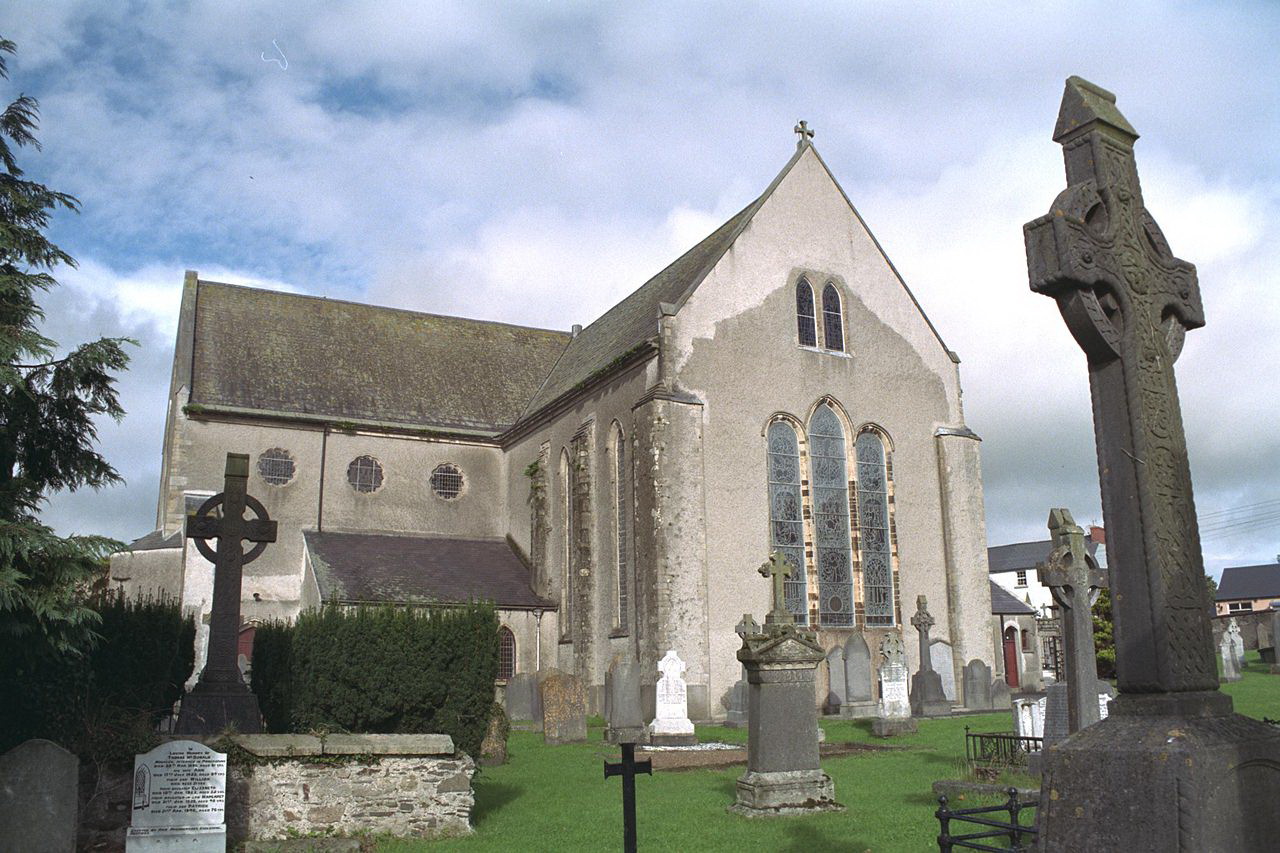
Mary Lanigan
- Born
- 1829-02-09 12:00:00
- Died
- 1913-07-01 12:00:00
- Gender
- Female

County Kilkenny, or Cill Chainnigh in Irish, is located in the south-east region of Ireland. It is known as the Marble City because of its distinctive black marble. We have a population of approximately 95,419. We look forward to helping you connect with your ancestors’ place of origin.
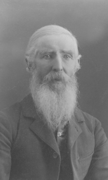

The church where James and Bridget were married-April 27th 1827
Location: Kilkenny

O'Loughlin Memorial Church of St John the Evangelist
Location: Kilkenny
Dublin Road, Kilkenny

Kilfane House
Location: Kilkenny
Kilfane House, Between Gowran and Thomastown

Kilkenny Castle
Location: Kilkenny
Kilkenny Castle, Kilkenny, Ireland
Travelling Folk in the 1930s
<p>Between 1937 and 1939, primary school pupils across the Republic of Ireland interviewed the elderly in their neighborhood to collect and record local stories and folklore from the 19th century. "The Schools Collection" as it became known is held by the Dúchas Folklore Collection in UCD and is and has been digitized online at duchas.ie. One of the topics schoolchildren were asked to write about were "Travelling Folk" or An Lucht Siúil. </p> <p>Here is a selection of what "settled" children wrote about travelers in the late 1930s.</p>
1938-01-01 12:00:00
1893 All Ireland Senior Hurling Final
1894-06-24 12:00:00
1895 All Ireland Senior Hurling Final
1896-03-15 12:00:00
1897 All Ireland Senior Hurling Final
1898-11-20 12:00:00
County Carlow, or Ceatharlach in Irish, is located in the south-east of Ireland. It is the second smallest county in Ireland and home to the prehistoric Browne’s Hill Dolmen – the capstone of which is reputed to be the largest in Europe. Our county town is Carlow and we have a population of approximately 54,612. We look forward to helping you connect with your ancestors’ place of origin.

Bridge in Clonegal over the river Derry. The bridge is the border between County Carlow and County Wexford
Location: Carlow

Saint Aidan's Church
Location: Carlow
Saint Aidan's Church, Tullow, County Carlow

Very old map of County Carlow
Location: Carlow

Carlow Workhouse
Location: Carlow
Mortarstown Upper, Carlow, R93 X0FX
Granting of Lands to the Esmonds
<p>The newly released records on <a href="http://www.virtualtreasury.ie">www.virtualtreasury.ie</a> have a record showing , what I think , is the granting of lands of Clonegal , Ballypierce , Kildavan and more to the Esmonds in 1625. I am attaching a copy of document.<br /> The relevant text is the second last entry on page</p> <p>Eamonn O Donohue</p>
1625-01-01 12:00:00
Night of the Big Wind
<p><a href="https://www.irishcentral.com/roots/history/night-of-the-big-wind-ireland-1839">https://www.irishcentral.com/roots/history/night-of-the-big-wind-irelan…</a></p>
1839-01-06 12:00:00
County Carlow in the 1830s
<p>A snapshot of pre-famine local history, as described in the "Topographical Dictionary of Ireland" by Samuel Lewis, 1837. (The information collected here was submitted by members of the local gentry and clergy of the time)</p>
1837-01-01 12:00:00
Royal University of Ireland founded
<p>In accordance with the University Education (Ireland) Act 1879, The Royal University of Ireland was founded as an examining and degree-awarding university (based on the model of the University of London). A Royal Charter was issued on 27 April 1880 which entitled the Royal University to grant any degree, similar to that of any other university in the United Kingdom of Great Britain and Ireland (except in theology and divinity).</p>
1880-04-27 12:00:00
Our aim is to connect all people with a link to St Mullins (Carlow). You may live here, have visited here or maybe are tracing ancestors who left long ago. In any case, we’re sure to have lots to share and are delighted to welcome you.


No buildings are associated with this community.
Foundation of St Mullins GAA Club
1914-01-01 12:00:00